MOUNTAIN PROVINCIAL WILDLIFE AREA
Spring: *** Summer: *** Fall: *** Winter: **
Independent Directions to this Site: From Highway 416 take exit 34 (Kemptville) to Leeds & Grenville 43. Turn left or east onto Leeds & Grenville 43 after the 0.3 km exit ramp. Follow 43 northeast 8.6 km to Hallville and County Road 1. Continue straight northeast on Kerrs Ridge Road in Hallville and proceed 3.6 km to Development Road. Turn left or northwest into it at the sign for the Mountain Provincial Wildlife Area. Drive 0.7 km to the edge of the Wildlife Area, where you can park by the Ruffed Grouse Society of Canada's Wildlife Habitat Project sign.
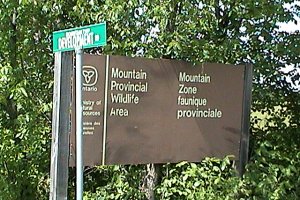 Sign at Kerrs Ridge & Development Roads
|
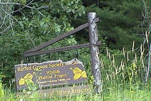 Ruffed Grouse Society's Sign
|
South Gower / Mountain Loop Directions: From the end of the gravelled portion of the East End of Loughlin Ridge Road, return the 1.8 km to Reid Mills Road (County # 1). Turn left or southeast on it and go 1.5 km to Kerrs Ridge Road at Hallville. Turn left or northeast onto it and proceed 3.6 km to Development Road. Turn left or northwest into it at the sign for the Mountain Provincial Wildlife Area. Drive 0.7 km to the edge of the Wildlife Area, where you can park by the Ruffed Grouse Society of Canada's Wildlife Habitat Project sign.
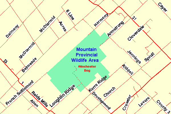 Map of the Winchester Bog Area
Site Description and Birding Information: The reasonably new Mountain Provincial Wildlife Area, though mainly used by snowmobilers or 4-wheelers depending on the season, has exceptional birding potential. This is the main access into the Winchester Bog and there are miles of trails to explore. You can drive for a kilometre or two when it is dry, but only if you have a high suspension and good nerves. The main road in, the continuation of Development Road, passes through a good variety of habitat, upland woodland, fields, second growth, scrublands, swamp, and an area of ponds. Watch the puddles on the road for bathing birds, frolicking butterflies and hopping froglets in the heat of summer.
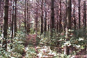 Pine Woods at the Ruffed Grouse Area
|
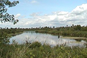 The Ponds along the Road
|
South Gower / Mountain Loop Directions: From the Ruffed Grouse Society's parking area on Development Road, return the 0.7 km to Kerrs Ridge Road. Turn left or northeast on it and drive 3.9 km to Rddell Road. Turn right or southeast on it and go 1.2 km to Spruit Road. Turn left or northeast on Spruit and proceed 1.1 km to Jennings Road. Turn left or northwest into it and go 1.1 km to the next site on this route, the less used part of Jennings Road.
Return to South Gower / Mountain Loop.
Return to Birding Ottawa Table of Contents.
|