ANTRIM
Spring: * Summer: * Fall: * Winter: *
Independent Directions to this Site: From the Highway 417 (The Queensway), take Exit 169 (Kinburn Side Road) and drive northeast 0.6 km to old Highway 17 at Antrim. Turn right or southeast on old Highway 17 and go 0.4 km to the fields just southeaast of Antrim.
Mississippi River Valley Route Directions: From the Mississippi River at Highway 17, return southeast on old Highway 17 driving about 3.5 km to the fields just southeast of Antrim.
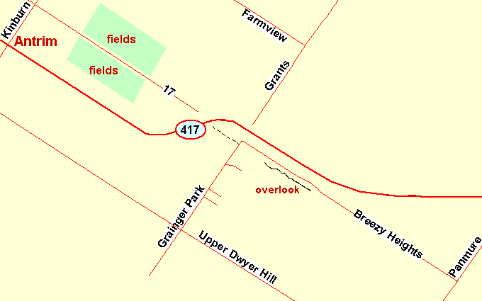 Map of the Antrim area
Site Description and Birding Information: This site is mentioned here mainly because of many sightings through the years of Short-eared Owls. Best time to see these birds is around dusk. The wide expanse of farm fields here, with cover around the perimeters, provides good habitat for this species. Watch all the fields between the outskirts of Antrim and the Antrim Truck Stop.
A Great Gray Owl stopped here on Jan. 28, 2005, during the "invasion", at the junction of Highways 417 and 20, a kilometer or so to the west.
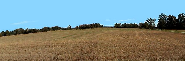 Fields SE of Antrim
Mississippi River Valley Route Directions: From wherever you are along the stretch of old Highway 17 adjacent the fields just southeast of Antrim, return northwest to the Kinburn Side Road at Antrim. Turn left or southwest onto Kinburn and drive 1.4 km to the Upper Dwyer Hill Road. Turn left or southeast on it and proceed 3.0 km to Granger Park Road. Turn left or northeast onto it and go 1.2 km to our next site, Breezy Heights Road.
Return to Mississippi River Valley.
Return to Birding Ottawa Table of Contents.
|