MACHARDY ROAD
Spring: ** Summer: ** Fall: ** Winter: **
Independent Directions to this Site: From Highway 417 (The Queensway), take the Antrim exit and drive northeast 0.8 km to Antrim and Highway 17. Turn left or northwest on 17 and go 6.2 km to the Galetta Sideroad. Turn right or northeast onto it and proceed 2.2 km to MacHardy Road. Turn left or northwest onto it.
Mississippi River Valley Route Directions: From the end of Head Pond Road at Lake Madawaska, return 0.7 km to Ryan Duncan Road. Turn right or southwest on it and go 1.1 km to N. Pakenham Concession 12. turn left or southeast on it and proceed 1.8 km to Shaw Road or Lanark 22. Turn left or northeast onto it and drive 1.3 km to Highway 15 (Lanark 29). Turn left onto 15 to continue straight northeast for 1.1 km to the Galetta Side Road or Regional 22. Turn right onto it, continuing straight northeast, and go 4.6 km to MacHardy Road. Turn left or northwest onto it.
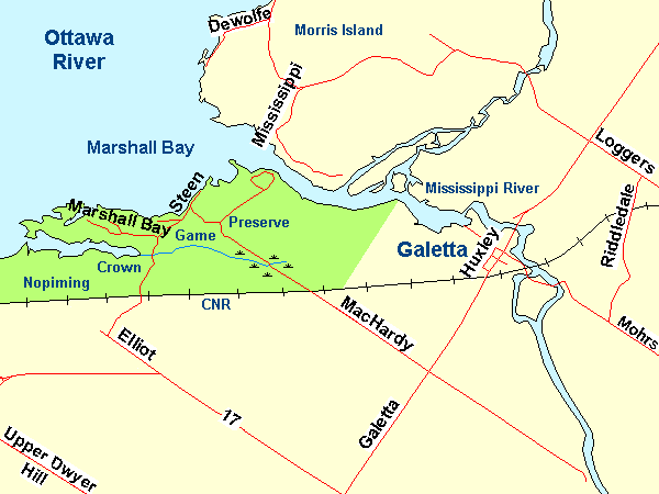 Map of the MacHardy Road area
Site Description and Birding Information: This 2.6 km dirt road runs northwest to a few cottages on the Ottawa River. It is unmaintained by the township beyond the railway crossing and hence deteriorates to a one-lane gravel track, presumably kept passable by the cottagers. This makes driving it a bit of a challenge but, since traffic is not much of a problem, makes it a pleasure for birding. Pulloff spots for parking along the narrow section do exist, but are not common. The first half of the road goes through farmland. When you cross the railway tracks, you will soon find a fairly large cattail marsh. Black-billed Cuckoo has been found here. Beyond that are a mixed forest, a regrowth ridge, a wet cedar forest and a wooded swamp. A good variety of habitat, making a good birding spot, especially in migration. The area is designated as the Nopiming Crown Game Preserve.
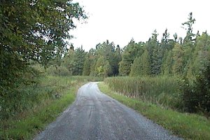
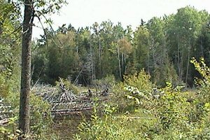 Marsh and Wooded Swamp along MacHardy Road
Mississippi River Valley Route Directions: From wherever you are on it, return southeast on MacHardy Road to its junction with the Galetta Side Road. Turn left or northeast and drive 1.4 km to the Mohrs Side Road to begin our next site Galetta.
Return to Mississippi River Valley.
Return to Birding Ottawa Table of Contents.
|