PAKENHAM CONCESSION 12
Spring: ** Summer: ** Fall: * Winter: *
Independent Directions to this Site: From Highway 417 (The Queensway) take exit 164 (Panmure Road) to the southwest. Follow Panmure Road 6.7 km to turn right or northwest onto Pakenham Concession 12.
Mississippi River Valley Route Directions: From The Burnt Lands - Ramsey Concession 12 North, return northwest to Panmure Road and turn left or southwest onto it. Proceed 0.1 km to turn right or northwest onto Pakenham Concession 12.
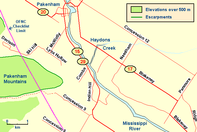 Map of the Pakenham Concession 12 area
Site Description and Birding Information: The portion of this gravel road between Panmure and Needham Roads, through marginal farmland, is a good example of this habitat. Overgrown fields, pastureland and patches of scrub and cedar provide ideal conditions for Loggerhead Shrike. None have been reported from here, but the conditions are textbook. Grassland birds such as Eastern Meadowlark, Savannah Sparrow and American Kestrel breed here.
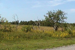
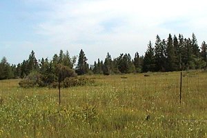 Views along Pakenham Concession 12
Mississippi River Valley Route Directions: When you reach Needham Road travelling northwest on Pakenham Concession 12, turn left or southwest onto Needham. Proceed 1.5 km to Blakeney Road (Lanark 17) and turn right or northwest onto it. Go 1.4 km to the next site on this route, Haydons Creek at Lanark 17.
Return to Mississippi River Valley.
Return to Birding Ottawa Table of Contents.
|