Independent Directions to this Site: Going north on Autoroute de la Gatineau or Highway 5 take the Fournier Boulevard east exit. Follow the ramp 0.2 km to Fournier, then follow Fournier 2.4 km northeast to Jacques Cartier at the far side of the Lady Aberdeen Bridge over the Gatineau River. Turn right or southeast on Jacques Cartier and follow it for 1.0 km to Prince Albert. Parking is possible at several places from here to the end of Jacques Cartier 2.2 km beyond Prince Albert. Avoid downtown areas during rushhour!
Ottawa River East: Quebec Route Directions: To reach the first site in this route go north on Autoroute de la Gatineau or Highway 5 and take the Fournier Boulevard east exit. Follow the ramp 0.2 km to Fournier, then follow Fournier 2.4 km northeast to Jacques Cartier at the far side of the Lady Aberdeen Bridge over the Gatineau River. Turn right or southeast on Jacques Cartier and follow it for 1.0 km to Prince Albert. Parking is possible at several places from here to the end of Jacques Cartier 2.2 km beyond Prince Albert. Avoid downtown areas during rushhour!
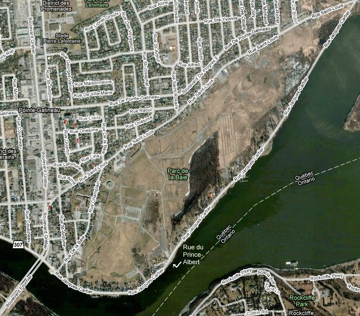
Site Description and Birding Information: This site has a good variety of habitat available, from swampy woodland at the east end of Jacques Cartier to scrubland behind the row of houses along Jacques Cartier. It appears to be an old dump site, now designated a park. A coverup of sorts. But nature isn't fussy.
Ottawa River East: Quebec Route Directions: To visit our next site on this route, Kettle Island, just stay parked where you are and take a boat or canoe across the channel.