CODY CREEK AT PETER ROBINSON ROAD
Spring: ** Summer: * Fall: ** Winter: *
Independent Directions to this Site: From Highway 417 (The Queensway) take exit 155 (March Road or Regional Road 49). Turn left or southwest onto March Road and follow it for 6.0 km to Peter Robinson Road. Turn left or southeast onto it and go 1.6 km to Cody Creek.
Mississippi River Valley Route Directions: From the Forest Edge Drive Trail, return the 0.4 km northwest to Vaughn Side Road. Turn left or southwest onto Vaughn and proceed 2.6 km to Peter Robinson Road. Turn left or southeast onto it and go 1.6 km to Cody Creek.
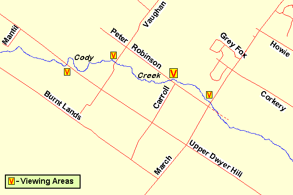 Map of the Cody Creek area
Site Description and Birding Information: This section of Cody Creek meanders through farming country and, along with the three other viewing points for Cody Creek noted on the map, is worth a quick check en passant. Herons, shorebirds and waterfowl are sometimes seen here, along with the usual agricultural related avifauna. Has potential for egrets. A Ross's Goose was found here Apr. 18-19, 2009.
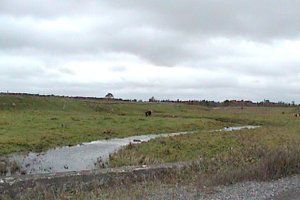 Cody Creek at Peter Robinson Road
Mississippi River Valley Route Directions: From the Cody Creek at Peter Robinson Road, proceed 1.4 km southeast to March Road or Regional 49. Turn right or southwest onto it and go 1.3 km to the Upper Dwyer Hill Road. Turn left or southeast on it and 4.3 km to the Old Almonte Road. Turn left or northeast onto it and drive 1.3 km to our next site, Cody Creek at Old Almonte Road.
Return to Mississippi River Valley.
Return to Birding Ottawa Table of Contents.
|